Visualize Satellite images with Mapbox API
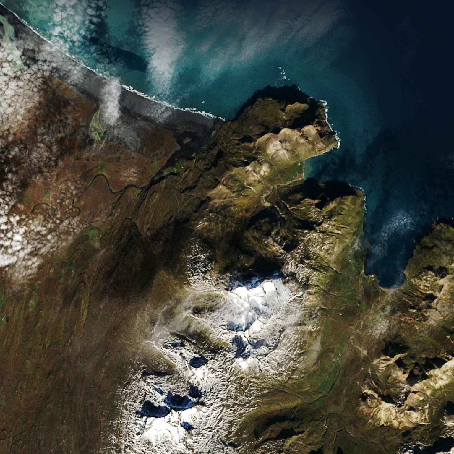
Accessing to satellite images based on geolocalization has many applications in data visualization and data sciences. There are several alternative of services which provide API interfaces which can be integrated in notebooks or articles, for instance : Google Maps, Bings Maps, OpenStreetMap, … You can find free, freemium or premium services. In this post we are going to illustrate a short demo of mapbox satellite API. Mapbox present itself as the “location data platform for mobile and web applications”.